
The Drone Comes in a Box. The Know-How Doesn’t. |
Palomar’s listed noncredit program gives San Marcos a practical drone education story, with mapping, careers and a documented college partnership in the picture. |
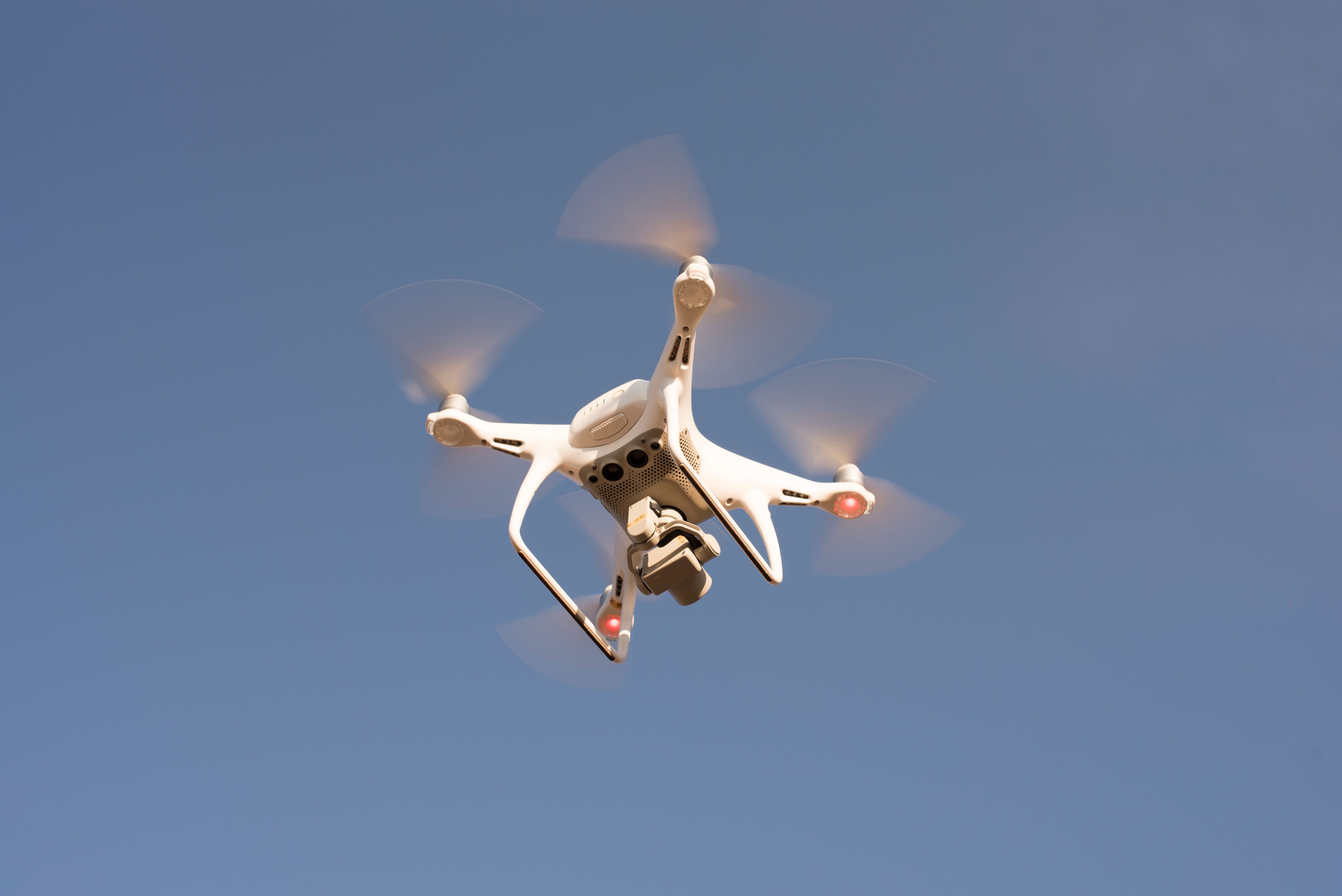
Buying a drone is the easy part.
Understanding what to do with its images—and which credentials you need—is another assignment.
The checkout button doesn’t cover that.
For Vista and San Marcos residents curious about drones, Palomar College provides a local place to investigate the education behind the equipment.
Its Geography Department lists Getting Started with Drone Careers and Drone Applications in Geomatics, a noncredit Certificate of Competency.
The title takes a breath to say. Its subjects give readers something concrete to explore.
More Than a Camera With Propellers
Palomar’s published curriculum materials document changes effective Fall 2026 to two courses.
N GEOG 900 is Introduction to Drone Safety and Applications in Geomatics. N GEOG 901 is Careers in the Drone and Geomatic Industries.
Those titles point toward safety, geographic measurement, mapping applications and career exploration.
That’s the local curiosity hook: what happens after the picture?
An aerial image might be the beginning of the work, rather than the finished product. Palomar’s own history provides an example.
The current program listing does not confirm upcoming dates or open seats. Prospective students still need to check enrollment availability.
Palomar’s Planetarium Got the Miniature Treatment
A June 23, 2017 college report pictured 3D models of Palomar’s dome and planetarium.
The models were generated from drone imagery and produced with a 3D printer.
Familiar campus structures became something people could examine in miniature.
Even the planetarium, apparently, has a smaller version of itself.
The report described an earlier National Science Foundation-supported project involving Palomar and Southwestern faculty.
That historical project is separate from a more recent award.
The Partnership Has Federal Paperwork
An original NSF award notice documents a geomatics and land-surveying project involving Southwestern College and Palomar.
The notice specifies $998,759 and an awarded project period of August 1, 2025, through July 31, 2028.
Its title describes building geomatics and land-surveying pathways through program development, student outreach and professional development.
Southwestern’s Ken Yanow is named principal investigator. Palomar’s Wing H. Cheung is a co-principal investigator.
That establishes the award and the institutional connection.
It does not establish completed outcomes, current spending or funding for a particular advertised drone class.
For readers considering training, the distinction is useful: a documented educational project is worth exploring, while individual course details still need checking.
Ground School Comes Before the Certificate
Southwestern’s catalog lists NC 327, Remote Pilot Ground School, an 18-hour noncredit course intended to prepare students for the FAA Part 107 knowledge examination.
Its published Fall 2026 schedule lists an online, no-fee section running August 24–October 16, 2026. Current enrollment availability remains unverified.
For first-time applicants, FAA certification requires eligibility, passing the knowledge examination, an application and a TSA security background check.
Completing preparation alone does not issue the certificate.
Before enrolling, confirm the course content, credential and available dates. That homework belongs before the flight.
Questions Before You Enroll:
Does Palomar list a noncredit drone program? Yes. Its Geography Department lists the drone careers and geomatics Certificate of Competency.
Does ground school provide FAA certification? No. Examination preparation and FAA certification are separate.
Is the advertised October 19 class confirmed? No. Its exact section and intended year remain unverified.
Are current seats available? Availability has not been verified. Check directly with the colleges. |
❤️ Enjoyed this story? Don’t miss what’s happening around Vista and San Marcos! Get local news, community stories, events, and more delivered straight to your inbox. Good Vibes. Great Stories. Right in Your Inbox. Subscribe to North Valley Flare → Free to subscribe. Local stories worth sharing. |



1 Comment
Join the conversation
I never thought drone photos could be used to make a 3D model of Palomar's planetarium. I'd love to see what else students could map around San Marcos.